Hidden Temple
From BACKPACKER (January 2019)
Click to read the story.
You don’t have to go far away to get far away in this winter-perfect national park.
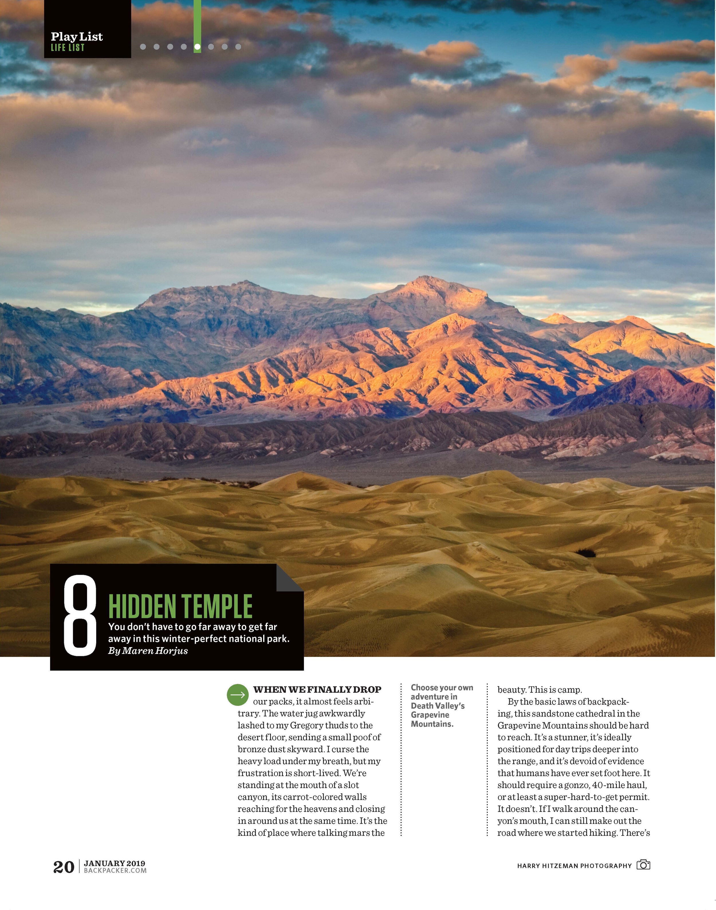
When we finally drop our packs, it almost feels arbitrary. The water jug awkwardly lashed to my Gregory thuds to the desert floor, sending a small poof of bronze dust skyward. I curse the heavy load under my breath, but my frustration is short-lived. We’re standing at the mouth of a slot canyon, its carrot-colored walls reaching for the heavens and closing in around us at the same time. It’s the kind of place where talking mars the beauty. This is camp.
By the basic laws of backpacking, this sandstone cathedral in the Grapevine Mountains should be hard to reach. It’s a stunner, it’s ideally positioned for day trips deeper into the range, and it’s devoid of evidence that humans have ever set foot here. It should require a gonzo, 40-mile haul, or at least a super-hard-to-get permit. It doesn’t. If I walk around the canyon’s mouth, I can still make out the road where we started hiking. There’s just one catch: There’s no trail.
For backpackers, hiking off-trail is like the deep end of the pool. It’s mysterious and a little bit scary, but there’s something exciting about letting go of the wall. This late-fall trip to Death Valley National Park is my first time taking the plunge, and I couldn’t have picked a more forgiving introduction. My group of eight caravanned up Scotty’s Castle Road, the main drag through the northern folds of the park, paralleling the Grapevines. When we pinpointed a canyon across the open, treeless alluvial fan, we parked and walked 2 miles to it. That’s it.
After divesting ourselves of our overnight gear, we continue deeper into the range in search of an unnamed, unmapped arch that’s supposedly in our general vicinity. We carry a topo map, compass, and GPS unit, but don’t use them. Instead, we follow tight chasms east into the crumbly maze, squeezing through narrows until we hit a dead end. But we don’t turn around. We scramble up the sloping, 30-foot-tall wall and follow it to a high, sinuous ridge that overlooks the rocky labyrinth. The Cottonwood Mountains anchor the horizon 15 miles west and the 8,000-foot-high peaks of the Grapevines sprout out of the rubble around us. We don’t find the arch, but no one seems too upset about it. As we retrace our steps to camp, we wonder if we’re the first people to walk along this spine, through this cavern, and around this column.
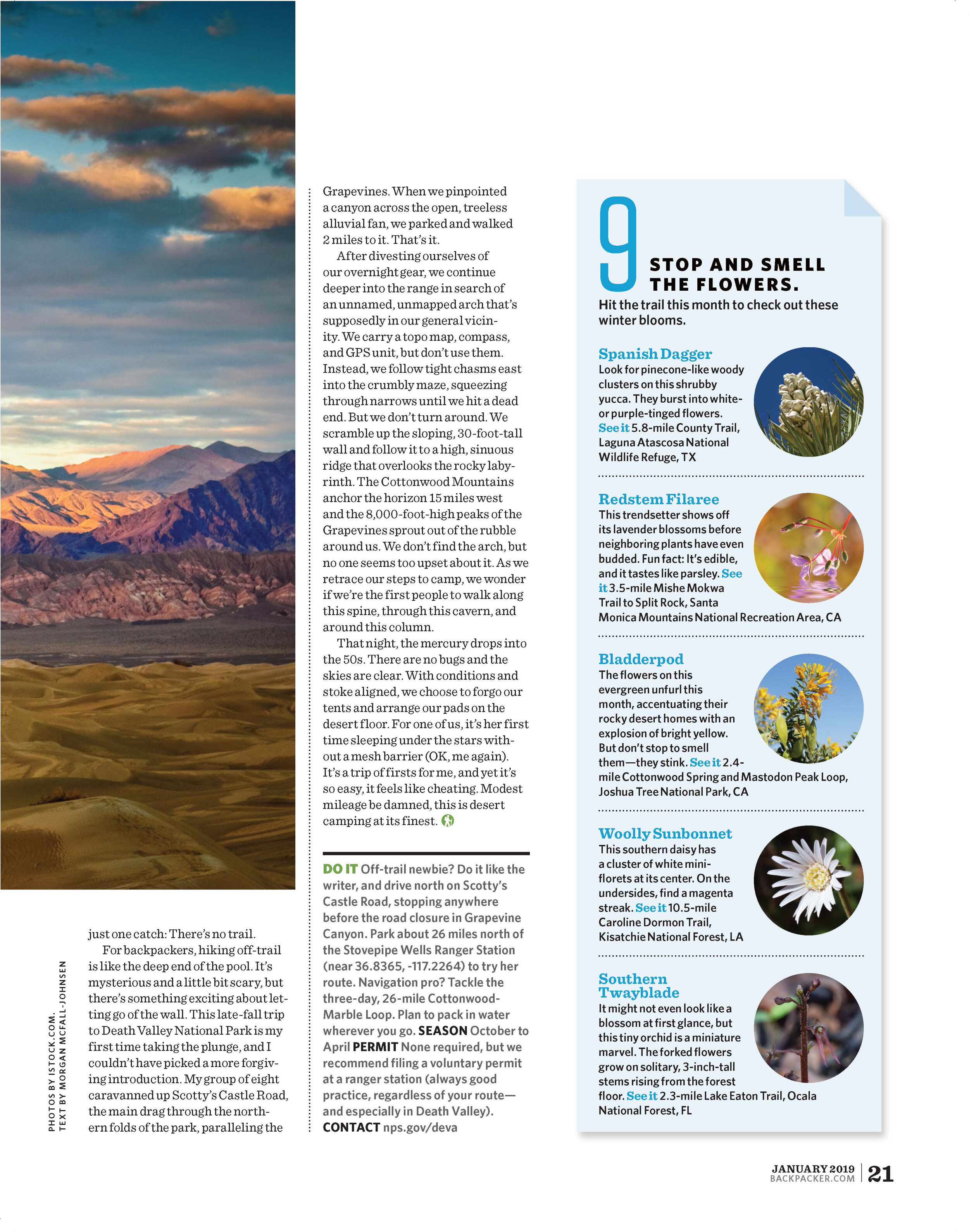
That night, the mercury drops into the 50s. There are no bugs and the skies are clear. With conditions and stoke aligned, we choose to forgo our tents and arrange our pads on the desert floor. For one of us, it’s her first time sleeping under the stars without a mesh barrier (OK, me again). It’s a trip of firsts for me, and yet it’s so easy, it feels like cheating. Modest mileage be damned, this is desert camping at its finest.
DO IT Off-trail newbie? Do it like the writer, and drive north on Scotty’s Castle Road, stopping anywhere before the road closure in Grapevine Canyon. Park about 26 miles north of the Stovepipe Wells Ranger Station (near 36.8365, -117.2264) to try her route. Navigation pro? Tackle the three-day, 26-mile Cottonwood-Marble Loop. Plan to pack in water wherever you go. Season October to April Permit None required, but we recommend filing a voluntary permit at a ranger station (always good practice, regardless of your route—and especially in Death Valley). Contact nps.gov/deva